Share

Copied
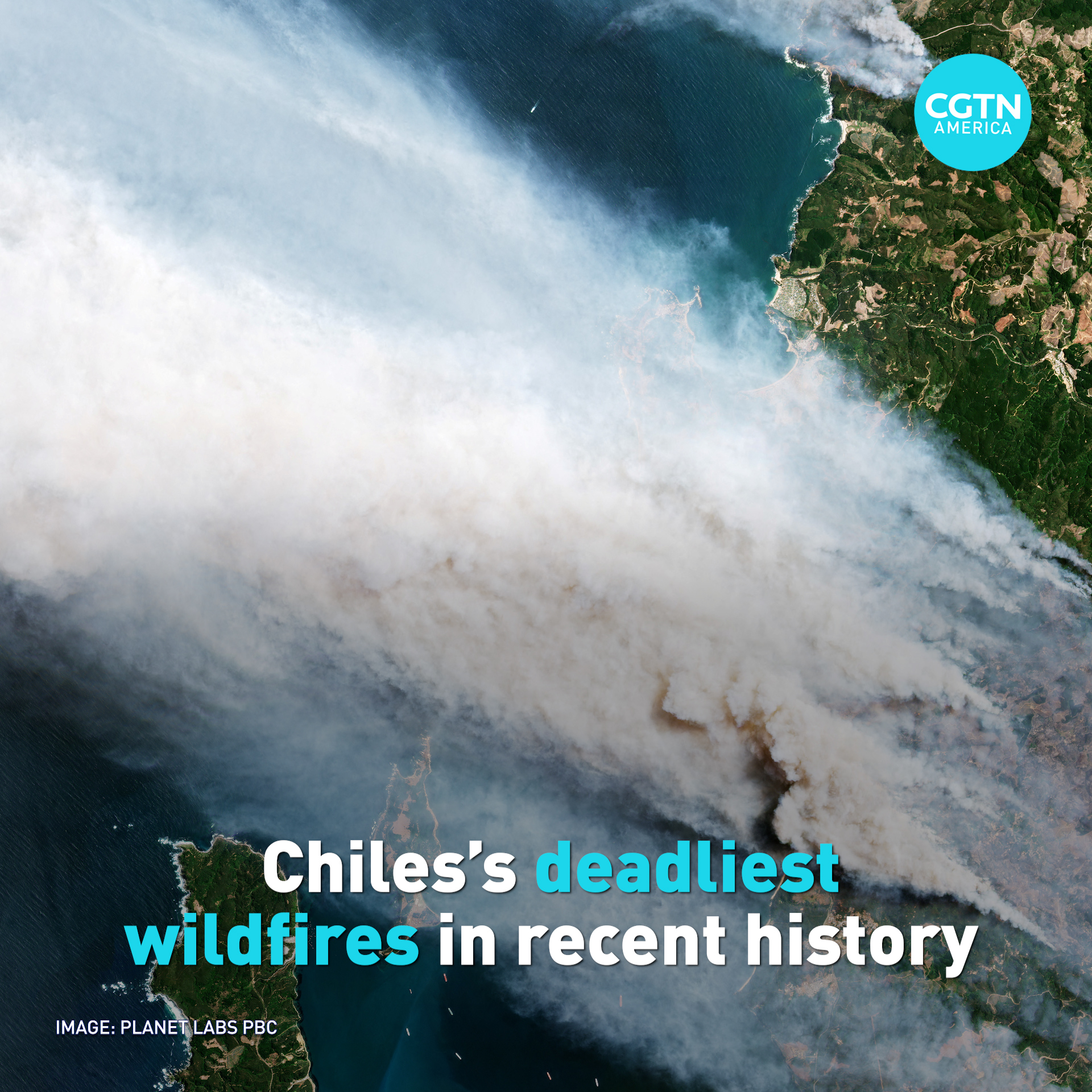
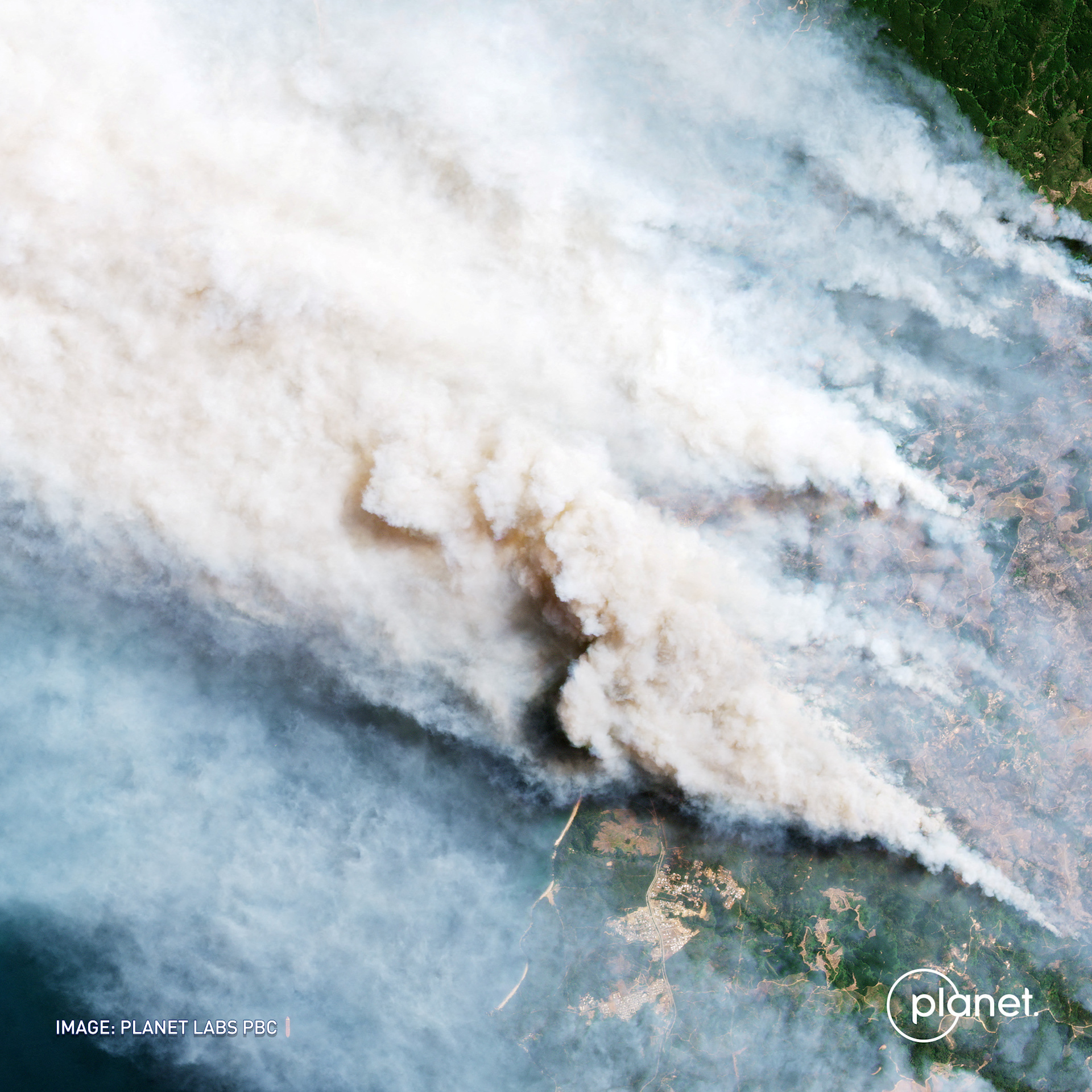
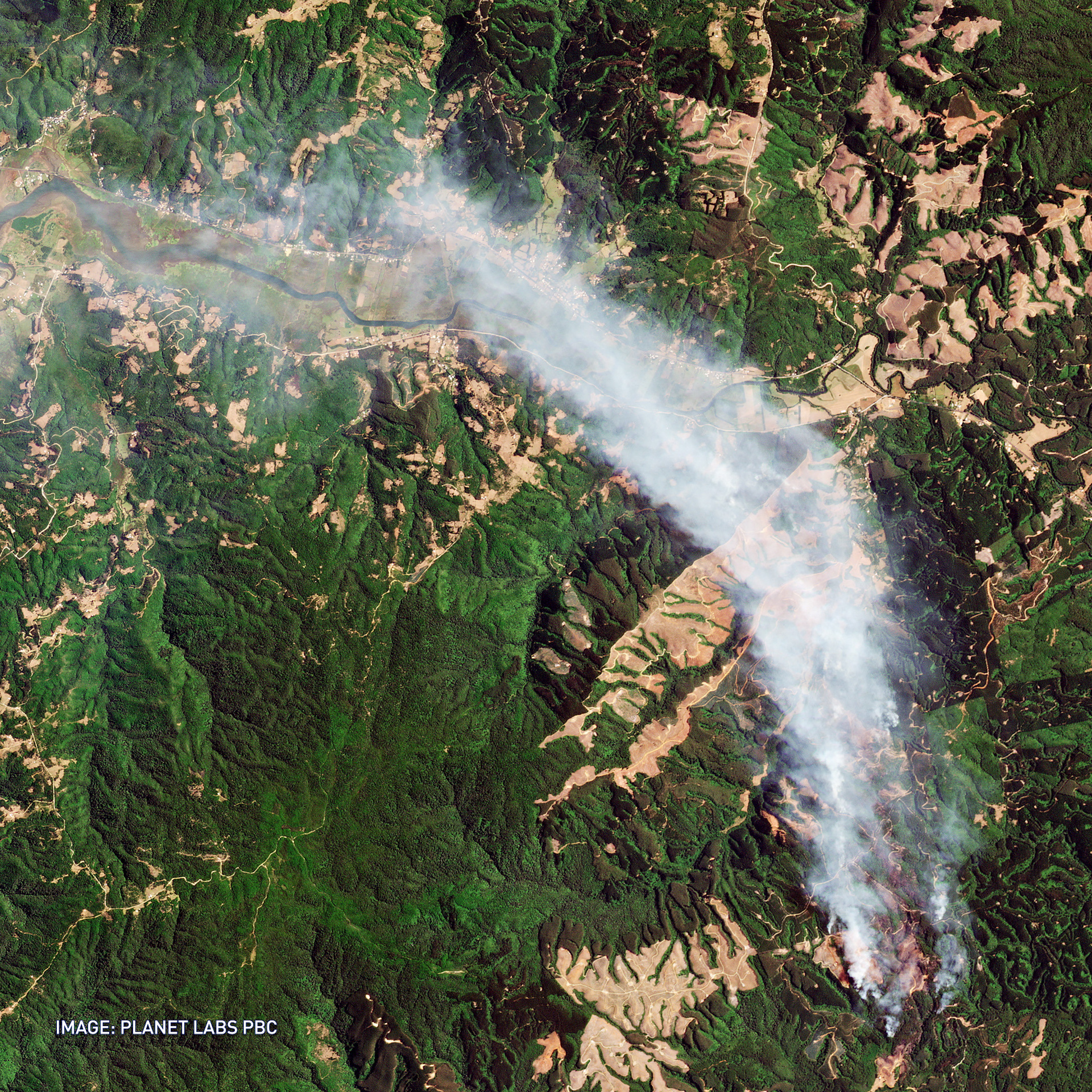
Satellite images obtained by Planet Labs PCB on Friday and Saturday, February 3 & 4, show the extent of the damage caused by the fires ravaging Chile, Reuters reports.
In the Concepcion Region, huge clouds of wildfire smoke were captured by the satellite while another cloud of smoke was seen over the Valdivia Region, according to Reuters.
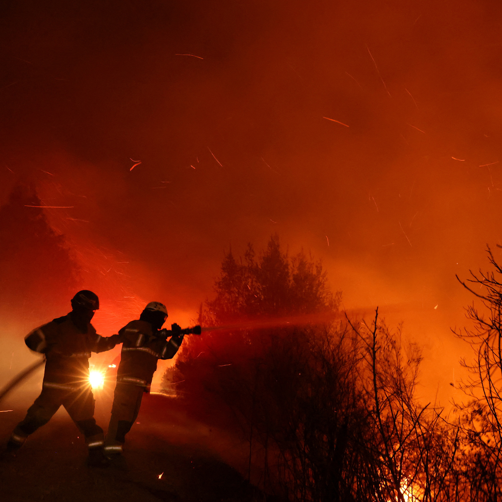
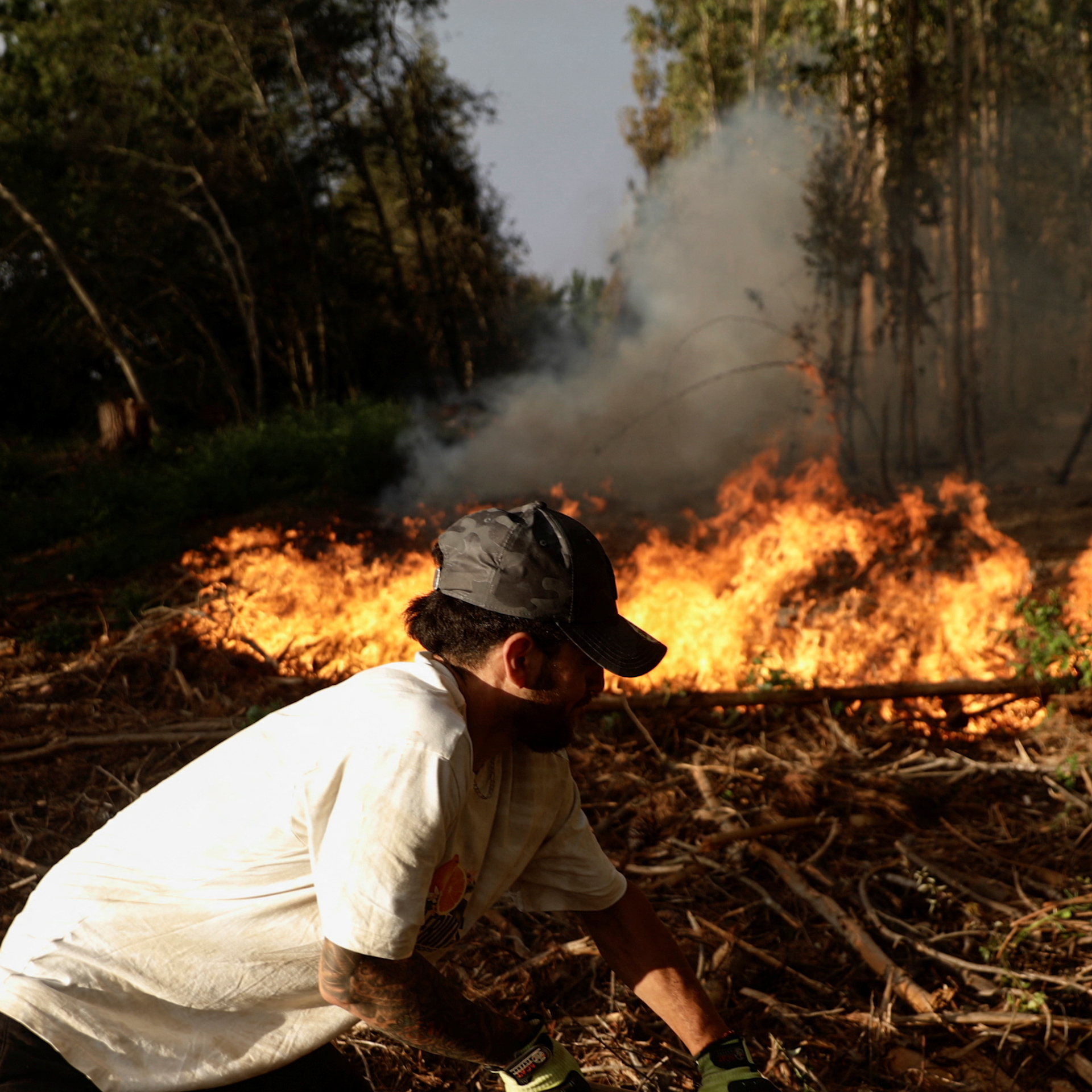
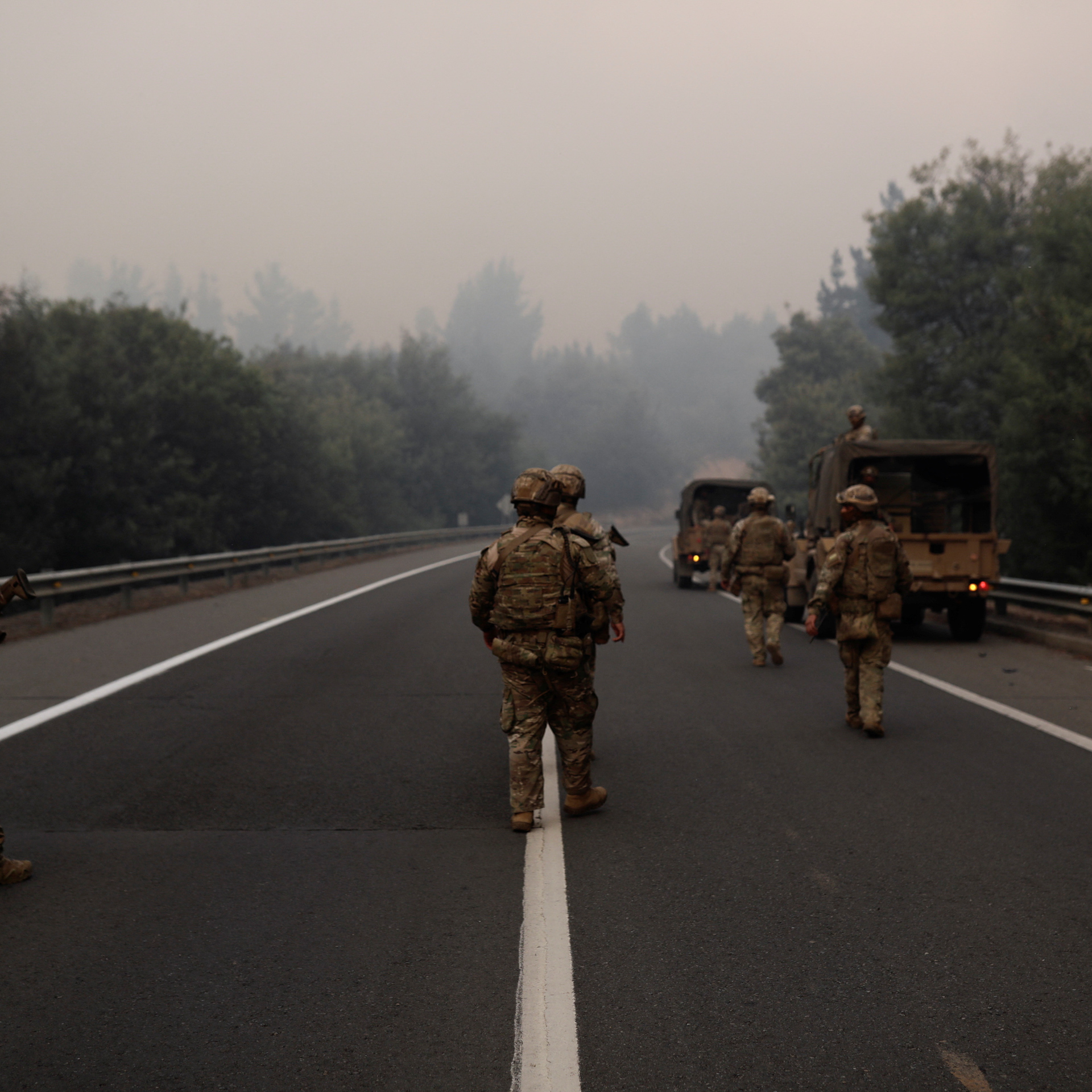
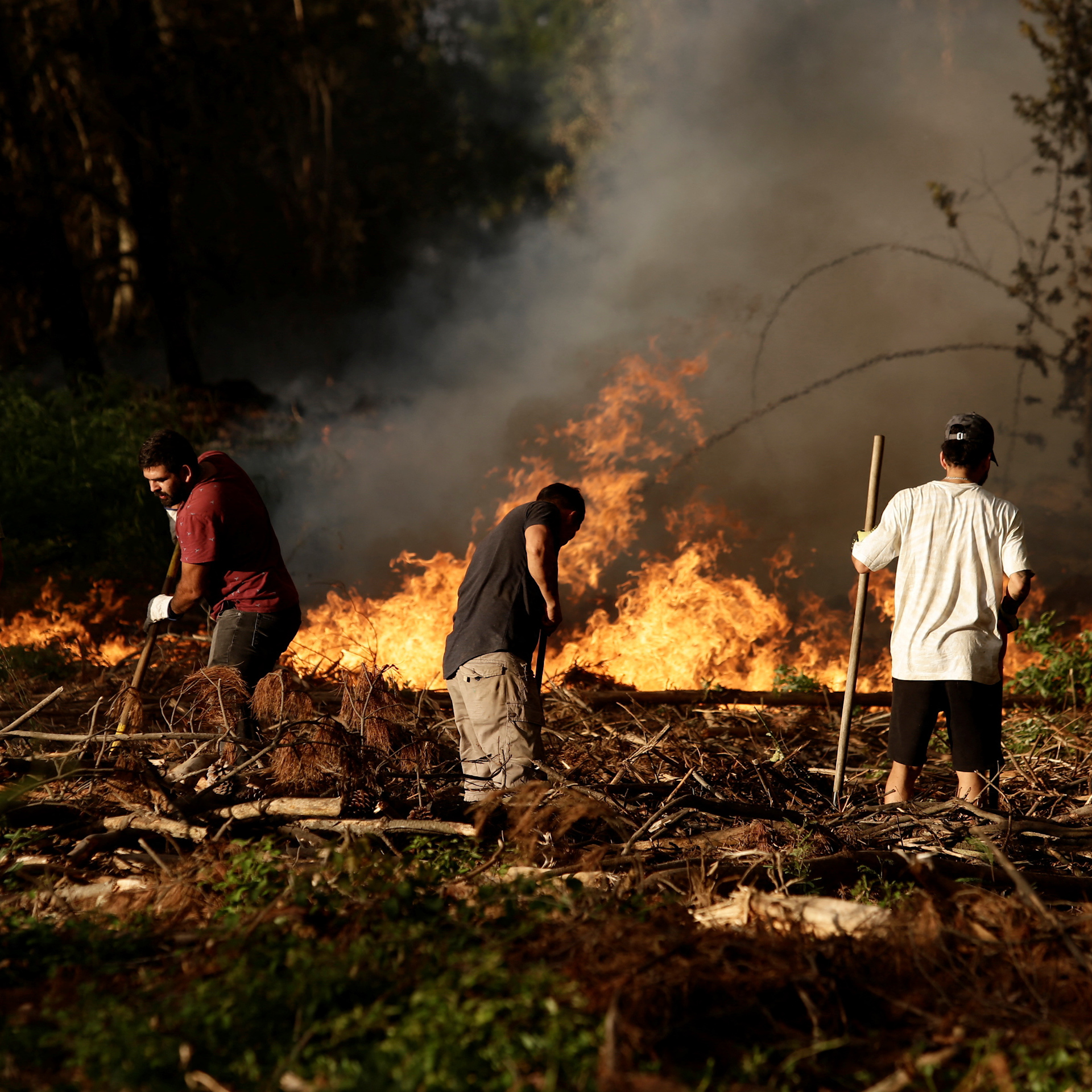
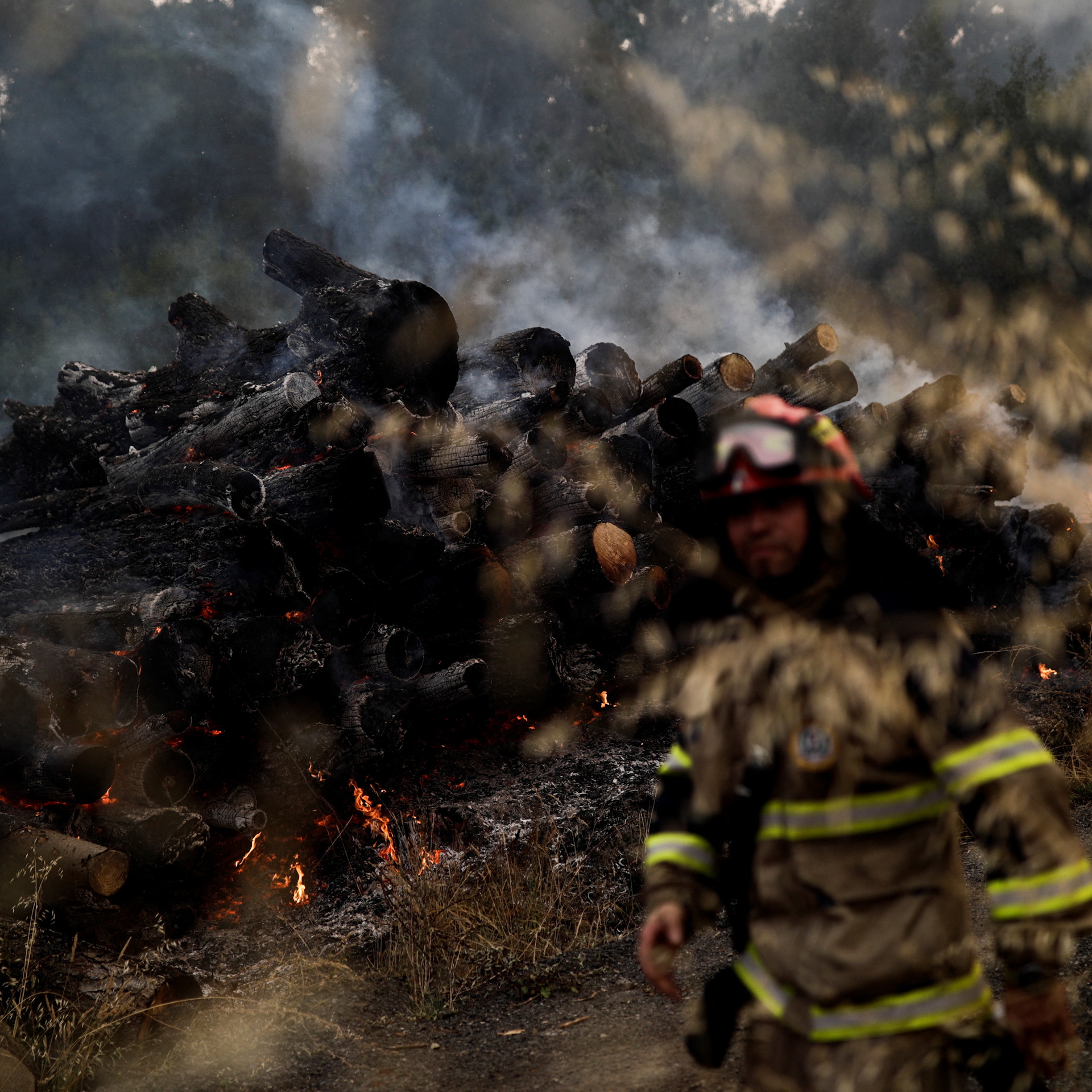
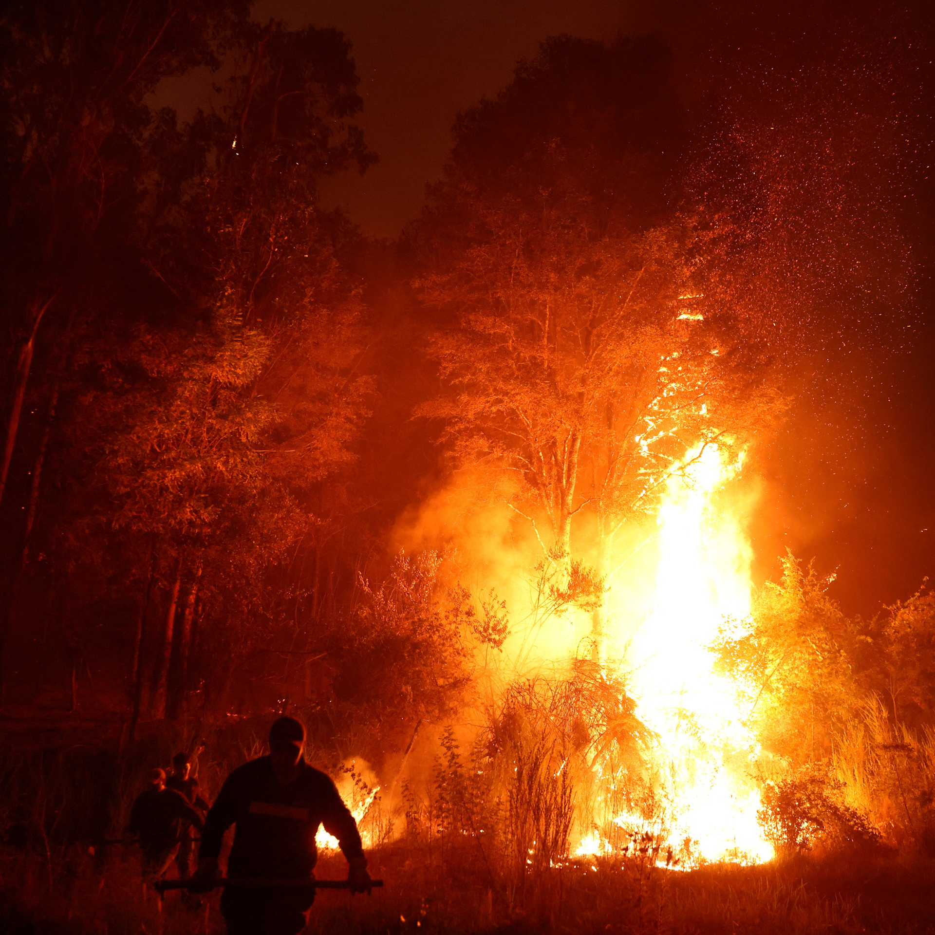
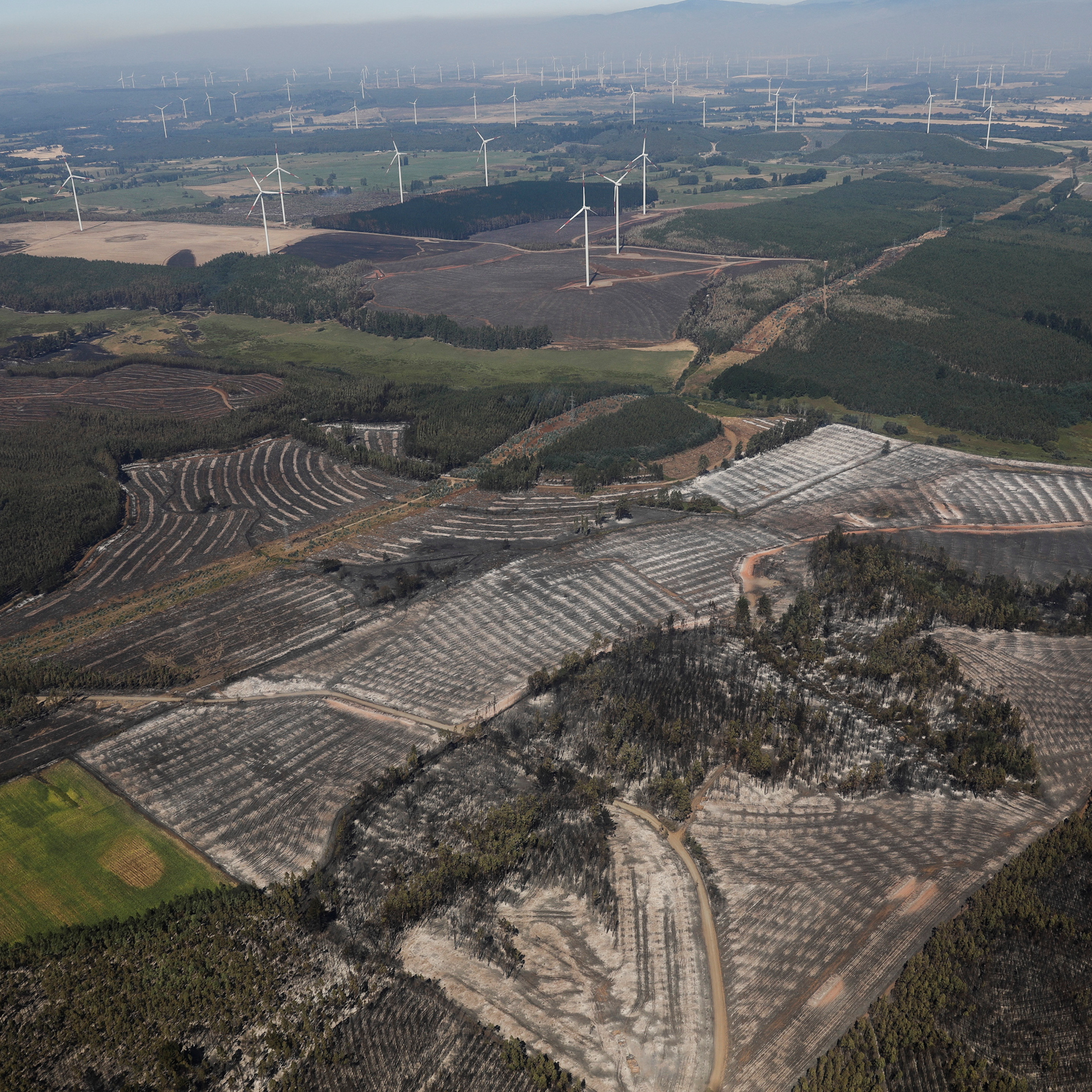
The fires in the country have consumed 667,000 acres (270,000 hectares) of land and have killed 26 people so far in south-central Chile, Reuters reports.
The state National Forestry Corporation reported that as of Monday morning, there were 275 active fires, of which 69 were currently in combat as authorities said hot and dry weather would continue this week, potentially exacerbating what are already the deadliest blazes in the country's recent history, says Reuters.
For more, check out our exclusive content on CGTN Now and subscribe to our weekly newsletter, The China Report.
Search Trends
SITEMAP
Copyright © 2023 CGTN. 京ICP备16065310号

Disinformation report hotline: 010-85061466
SITEMAP
Copyright © 2023 CGTN. 京ICP备16065310号
Disinformation report hotline: 010-85061466